HOW FAR
Scale
On a 1:25,000 map, 4 cm is 1 km on the ground. On a 1:50,000 map it takes only 2 cm.
Try the distance check doodlemap
MAP READING, MADE PLAIN
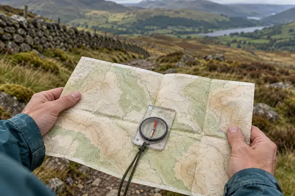
A paper walking map packs a whole hillside into a few centimetres.
Measure a route
4 CM= 1 km
Once you know three things, scale, grid references and contour lines, the coloured sheet in your pocket starts to read like a description of the ground ahead. Here is how, using the figures Ordnance Survey prints on its own maps.
Plain English, with the sources linked.
Updated
THE BASICS
How far, exactly where,
and how steep.
HOW FAR
On a 1:25,000 map, 4 cm is 1 km on the ground. On a 1:50,000 map it takes only 2 cm.
Try the distance checkEXACTLY WHERE
The faint blue grid splits the map into 1 km squares. Numbers along the edges let you name any spot.
Four figures or six?HOW STEEP
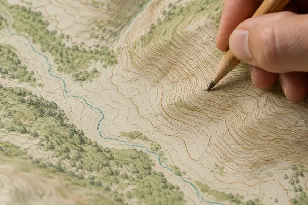
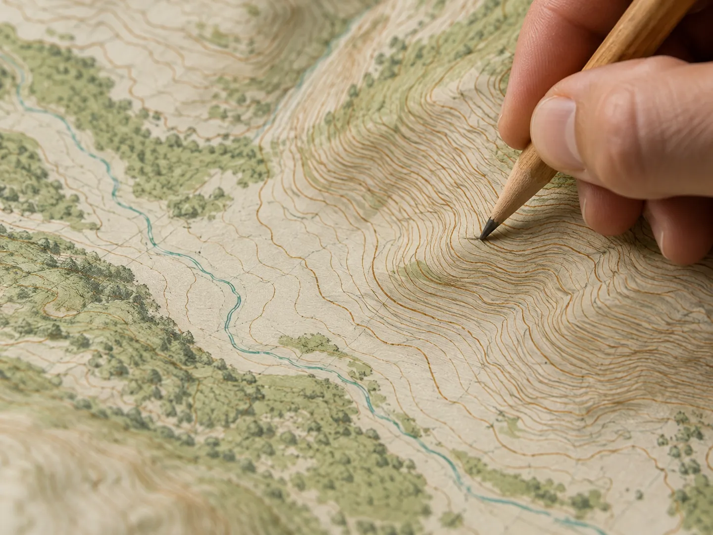
Brown lines join points of equal height. Close together means steep; far apart means gentle.
Read the slopeA QUICK DISTANCE CHECK
Pick a length you might measure on a 1:25,000 walking map. The check turns it into ground distance and a rough walking time, using Ordnance Survey's figure that most people walk about 3 km an hour.
Times are for a straight line on easy ground. Hills, stiles, rough paths and stops all add more.
GRID REFERENCES
Read the numbers along the bottom first,
then the ones up the side.
1 km × 1 km
Names one grid square
Two figures for the line along the bottom (the easting) and two for the line up the side (the northing). Together they name the square to the right of and above where those lines cross.
FOUR FIGURES
100 m × 100 m
Pins a spot inside the square
Split the square into ten parts each way and add one more figure to each half. The result identifies a patch about 100 metres across: enough to find a church, a stile or a meeting point.
SIX FIGURES
The order matters. Swap the two halves and you describe a different place, which is why the "corridor and stairs" memory aid is in almost every beginner's guide.
BEFORE YOU SET OFF
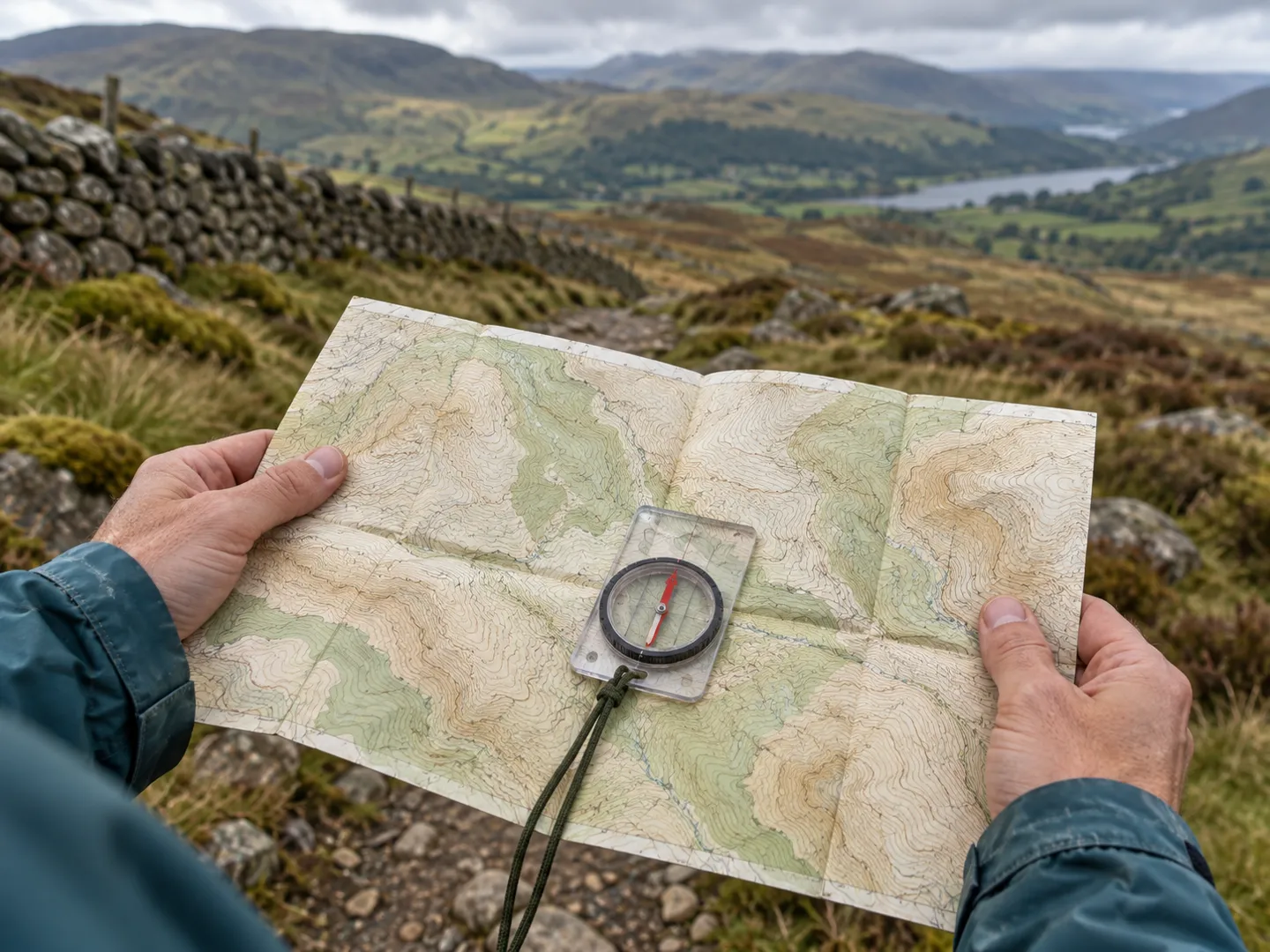
Turn the map until the features on it line up with the ones around you. With a compass, line the grid with the orienting lines and turn until the red needle sits over the arrow.
Lay a piece of string along the winding route, straighten it against the scale bar, and read off the distance. Ten centimetres on a 1:25,000 map is 2.5 km.
Before you commit to a route, count the lines you will cross. At 5 metres apart, twenty lines is about 100 metres of climbing.
Note a six-figure reference for where you parked and where you are heading. It is the clearest way to tell someone else where you are.
MAP FACTS
Ordnance Survey's 1:25,000 maps read "4 cm to 1 km"; its 1:50,000 maps read "2 cm to 1 km". A 1:250,000 map, with the extra zero, shows far more land in far less detail.
On a 1:25,000 map the grid lines are exactly 4 cm apart, so each square is 1 km by 1 km on the ground. On 1:50,000 maps they are 2 cm apart.
On 1:25,000 maps the height between contour lines is usually 5 metres, or 10 metres in mountainous areas. Every fifth line is printed more thickly to help you count.
Ordnance Survey says most people walk at about 3 km an hour, so a straight line across one grid square takes about 20 minutes. Going diagonally is about 1½ km.
Ordnance Survey maps are printed with north at the top. Walkers distinguish grid north (the grid lines), magnetic north (where the compass needle points) and true north (the North Pole).
QUICK QUESTIONS
Short answers to the questions new walkers ask most.
It means one unit on the map stands for 25,000 of the same unit on the ground. So 1 cm on the map is 250 metres, and 4 cm is 1 km. Ordnance Survey prints this as "4 cm to 1 km".
A 1:25,000 map (4 cm to 1 km) shows more detail, such as field boundaries, and is the usual choice for walking. A 1:50,000 map (2 cm to 1 km) covers twice the distance in each direction with less detail.
Read the numbers along the bottom first, then up the side: "along the corridor and up the stairs". Four figures name a 1 km square; six figures, made by splitting the square into tenths each way, pin a spot to within 100 metres.
Look at the brown contour lines. Each joins points of equal height, usually 5 metres apart on 1:25,000 maps or 10 metres in mountains. Lines close together mean a steep slope; lines far apart mean gentle ground.
Ordnance Survey suggests most people walk at about 3 km an hour, so crossing one 1 km grid square in a straight line takes about 20 minutes. Allow extra time for climbing, rough ground and stops.
A NAME THAT POINTS THE WAY
doodlemap.com is part of the DoodleSale portfolio. It isn't in an auction right now, but you can ask about leasing it.